Heavy rain warnings in place across Maharashtra
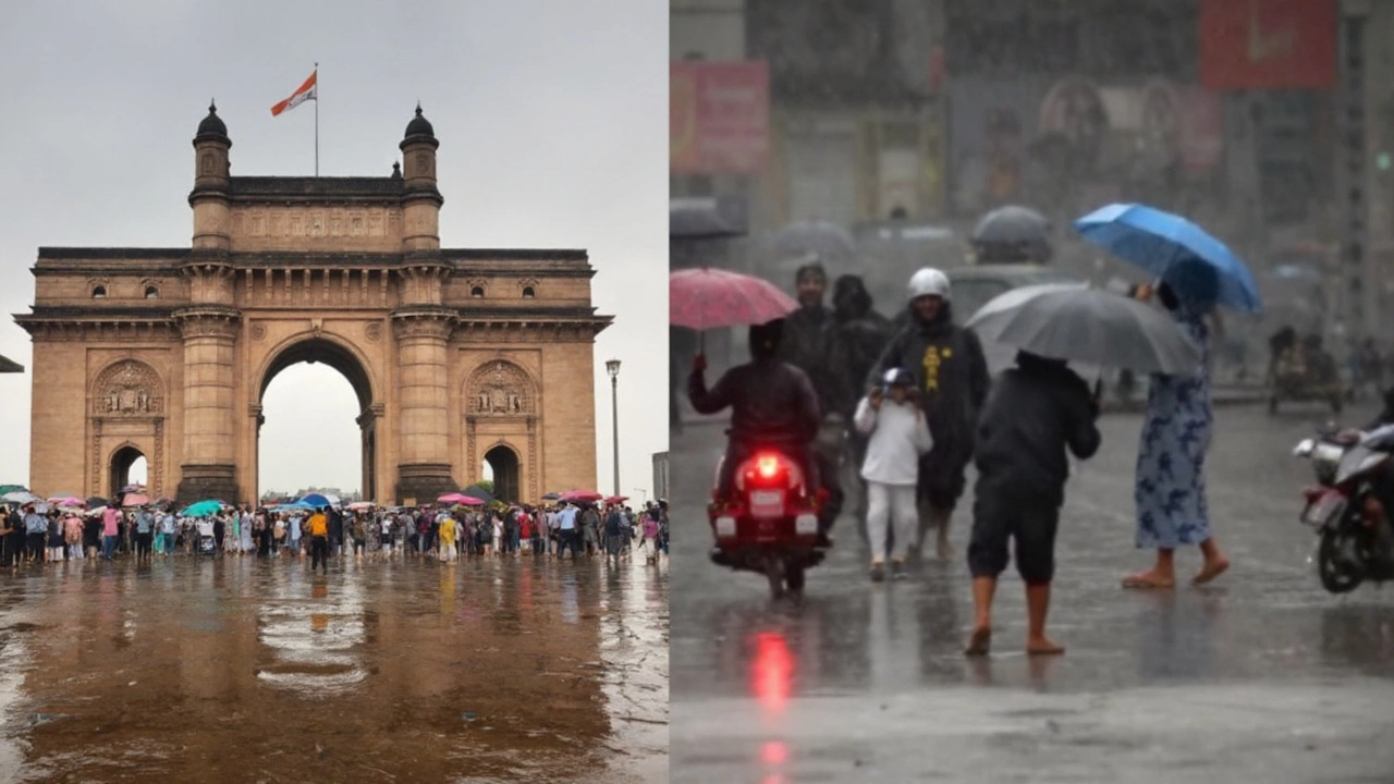
Mumbai heads into a wet first week of September with the India Meteorological Department placing the city under a Yellow Alert for heavy rain through September 5, while Thane, Palghar, and Raigad sit on Orange Alert for very heavy rain. The statewide window for intensified rainfall runs September 2 to 6, covering Konkan, the Western Ghats of Madhya Maharashtra, parts of North Madhya Maharashtra, and Marathwada.
At the heart of the warning is a low-pressure system over the north Bay of Bengal and an active monsoon trough. IMD expects a fresh low to consolidate over the northwest Bay around September 2, likely strengthening into a well-marked system by September 2–3 and moving inland toward the Odisha coast by around September 4. This setup is feeding moisture into peninsular and central India, keeping the monsoon vigorous.
For Mumbai and its suburbs, the short-term picture: generally cloudy skies with intermittent moderate to heavy showers over the next 48 hours. Daytime highs should hover near 28°C with nights around 24°C. IMD has flagged lightning, thunder, and occasional gusty winds of 40–50 kmph. Afternoon and late-night bursts could be the most intense, especially along the coast and the Ghats.
The rain is not just a coastal story. Widespread activity is expected over Konkan and adjoining Ghats with heavy to very heavy falls at several places. Scattered to fairly widespread rain with isolated heavy spells is likely across Marathwada and parts of North Madhya Maharashtra. Beyond Maharashtra, the active monsoon belt will influence West Bengal, Odisha, Jharkhand, Madhya Pradesh, Uttar Pradesh, Rajasthan, and Gujarat through early September.
The data shows how uneven this monsoon has been across the city. By the morning of September 2, the Santacruz observatory had logged 2,512.2 mm against a 2,319 mm average—108.33% of its annual norm and higher than the 94% reached by this date last year. Colaba, though, stood at 1,665.8 mm against 2,095 mm—79.51% of normal. Overall, Mumbai city and suburbs are at 91% of their average annual rainfall so far.
What do the alert colors mean in practice? Yellow asks you to stay updated and watch for local advisories. Orange signals preparedness for disruptions—think waterlogging, slower traffic, and occasional power issues. IMD’s rainfall categories help frame the risk: heavy (64.5–115.5 mm in 24 hours), very heavy (115.6–204.4 mm), and extremely heavy (204.5 mm and above).
What’s driving the weather — and what Mumbai should expect
The current surge began far away. A tropical depression over the South China Sea moved across North Vietnam, Laos, North Thailand, and Myanmar before reaching the Bay of Bengal on September 1. As it reorganizes over warm waters and interacts with an already active monsoon trough, the system is primed to pump moisture across eastern and central India, with the Western Ghats squeezing out heavier rain along the windward slopes.
For Mumbai, that means periodic quick-fire downpours rather than a nonstop deluge. The city often sees sharper bursts in the afternoon and late night as sea-breeze interactions and urban heat effects align. Expect brief windows of calmer weather, followed by intense spells that can flood low-lying junctions and underpasses within minutes.
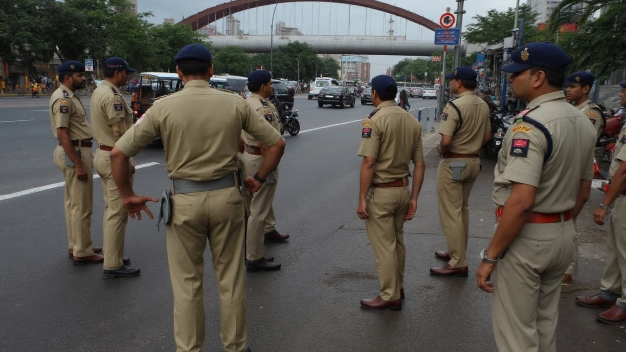
Transport may feel the strain. Local trains tend to slow during very heavy spells, and road traffic can snarl near underpasses and construction zones when water collects. Winds near 40–50 kmph raise the chance of tree falls on saturated ground. Along the Ghats, slopes are primed—rockfalls and minor landslips are possible during peak rain, especially on steep cuttings and forested stretches.
Fishermen along the north Konkan coast should watch for squally conditions and rough sea patches tied to the strengthening low over the Bay. Coastal walkways and beaches can become hazardous during high tide combined with heavy showers, with waves overtopping in exposed spots. Give sea-facing promenades a pass during active cells.
Agriculture across Marathwada and North Madhya Maharashtra could see mixed effects. Well-timed showers help late Kharif crops, but very heavy rain can drown young soybean and stress cotton and tur. Farmers should clear field drains, stake vulnerable plants, and time pest and disease sprays for gaps between rain bands rather than during active cells.
The city’s rain split—Santacruz above normal and Colaba below—underscores Mumbai’s microclimate. Convective storms often favor the northern suburbs when moisture lines up with the Ghats, while southern parts can miss peak cores on certain days. That pattern may recur this week, so localized forecasts and ward-level alerts matter.
If the Bay system intensifies quickly and stays connected to Arabian Sea moisture, Konkan and the Ghats could see a longer stretch of very heavy falls. If it weakens fast after landfall, the rain window shrinks, but brief severe spells can still occur. Watch for any upgrade from Yellow to Orange for Mumbai if 24-hour totals approach the “very heavy” bracket in more than a few locations.
Practical steps for the week help cut the hassle. Charge devices and keep flashlights handy. Park away from trees and low basements. Step around stagnant water near electric boxes. If you commute, build in buffer time and keep an eye on ward-level updates.
- Avoid underpasses and low-lying shortcuts during active cells; take elevated routes when possible.
- Keep a dry bag for essentials—ID, meds, power bank.
- Skip seafront walks during high tide or when winds pick up.
- Two-wheeler riders: slow down on polished wet patches; painted road markings get slick.
As the week unfolds, three triggers will shape the outcome: how quickly the Bay low strengthens into a well-marked system, the exact alignment of the monsoon trough, and the degree of moisture feed from the Arabian Sea. If those align, very heavy episodes across Konkan and the Ghats become more frequent. If not, Mumbai still sees on-and-off heavy showers but fewer marathon spells.
Bottom line for now: the IMD Mumbai rain alert stays in force through September 5, with neighboring districts on a higher footing. Expect stop-start rain, a few intense bursts, and the usual waterlogging hot spots to act up. Keep plans flexible, and watch the sky as closely as the forecast.